
|
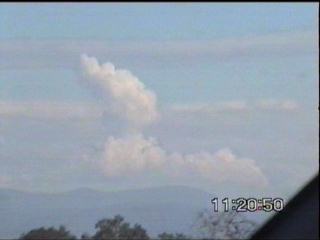
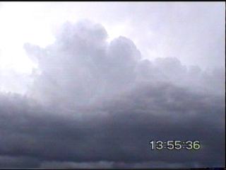
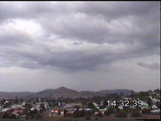
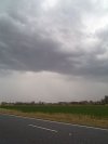
July 10 (yes July!) Storm Chase Monday the 10th of July was certainly a different situation for winter! A nice spring setup at the surface with very cold upper level temperatures from an upper level trough and low created widespread thunderstorms over much of the south-eastern quarter of Queensland and northeast New South Wales. The situation was very close to forming into a rain event, with tropical moisture streaming in along the jet across central Queensland � potentially combining with the upper level low. However the upper level low slowed down and came through late on Monday instead of Sunday. This meant that the ample mid and upper level moisture moved out to sea before the coldest air came through. With temperatures in the low �20�s at the 500mb level, and surface temperatures in the low to mid 20�s at the surface with DP�s in the mid teens, it gave plenty of instability! This instability was shown very early on, with severe thunderstorm warnings being issued just after midnight for areas near Moree in NSW. On Monday morning, there were quite spectacular Cb�s out to sea, and a nice haze of Ci/Ac formed to the SW.
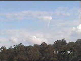
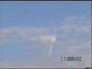
Ben arrived at my place just after 10am, and then we were off! We decided to head out to the New England Hwy, just to the west of the Cunningham Hwy to see what was lurking behind the ranges. The Cb�s out to sea were so spectacular that we had to stop several times to photograph them! We saw an unusual cloud formation near Aratula from a Cumulus Humulis, it looked like a tooth! Looking at the video footage, I was unable to explain it, but thought that it could have possibly been a funnel (funnels under Cu Hu have been sited before, but normally occur in very high sheared areas!) The low level shear was not strong, but not slack either! It backed with height a little, and the main jet in the upper levels was around 100kn.
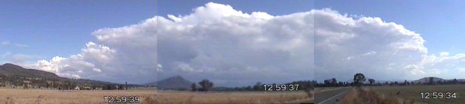
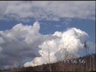
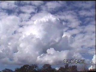
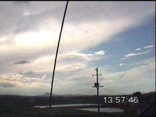
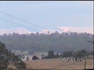
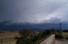
Large CJ�s developed on the ranges, some of them quite strong at first but then collapsed soon after. The sky was in its fluctuating stage, where sometimes it�d look quite spectacular and then a few minutes later it looked quite junky. It was quite cold going through Cunningham�s Gap � 14.2C at 11:30am! Surface temperatures around the ranges were around 20C just before this. About 10km west of Cunningham�s Gap we decided to stop by the side of the road and observe what was happening. The sky to the west was thickening quite quickly with mid level cloud which made us want to head east again, as the border ranges would then be more likely to fire instead of the Eastern Downs and Granite Belt (as there was too much cloud). We watched the CJ�s go up and down on the mountain, before eventually decided to head east � to the Boonah Lookout where James was.
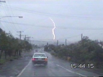
The CJ�s developed quickly into a small line of Cb�s with tops to 25,000ft � the anvil looked mid-level, but none the less I was very surprised as to how quickly the line formed! About 10km from Boonah we stopped, where we heard 2 rumbles of thunder and witnessed a CG. |
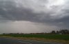
| The line of storms
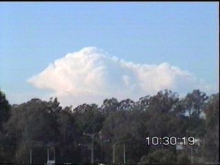
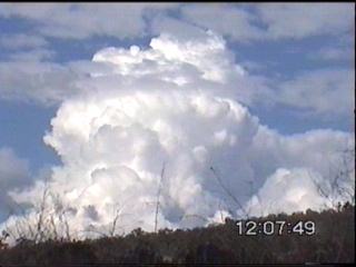
were still evolving, quite rapidly still, soon a �true� Cirrus anvil could
be seen with tops reaching 30,000ft � the northern section of the line
seemed to develop rapidly, and extend very quickly towards the north.
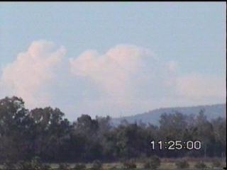
We met James at Boonah � quite a nice site to the SW! A weak outflow
region developed, and thunder was every 1-3 minutes. Static was quite
frequent too! The storms were moving SE, while the line moved eastwards
� as it formed, it slowed down and so did the development.
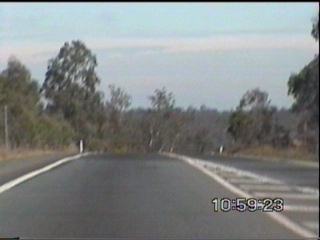
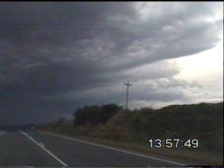
Ben and I decided that we�d head west to meet up with it. A few kilometers out of Boonah and we saw some very nice updrafts form on the outflow/shelf cloud region. These didn�t last long. Half way between Boonah and Aratula we were in the (cold!) outflow region of a moderate SW�ly. I was afraid that the storms would die when I felt this.
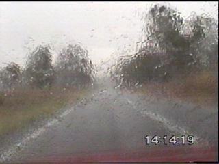
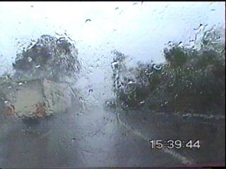
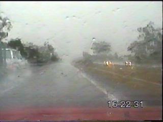
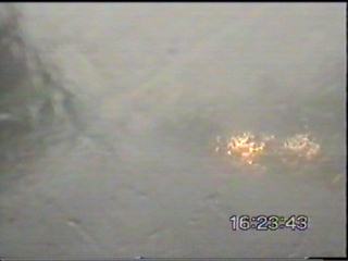
There was no defined structure near the sell, and certainly no defined rain bands as we wandered into the cell. We were able to see straight through it! We only got moderate rain, but a few nice CG�s! We didn�t want to get caught up in the rain, so we turned back and headed north on the Cunningham Hwy. On returning, the rain at one stage got very heavy! Enough for some water to sit over the road (you could feel that you were just starting to lose traction going around the corners), fortunately the water over the road was only on a very small section.
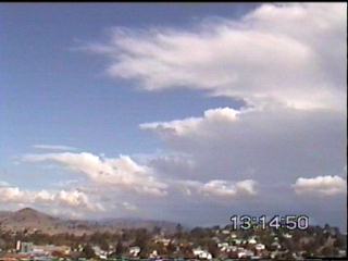
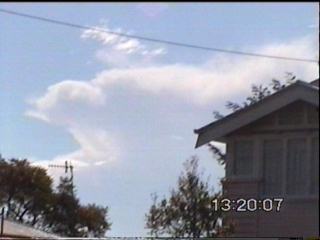
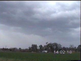
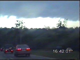
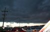
We finally got back to Boonah � well, things had changed dramatically! Unfortunately, for the worse. The band basically looked like thundery rain. We decided to shoot up north on the Ipswich-Boonah Rd. There was lots of interesting CJ�s, lowerings and a few features, but they didn�t last long and they weren�t nice as such, just interesting. We headed towards Ipswich, and got some very heavy rain from a decaying storm on the Warrego Hwy. In Ipswich, we got stuck in traffic but saw some nice CG�s! The rain just moderate, but a few ambulances were being dispatched, probably due to road accidents. :-(
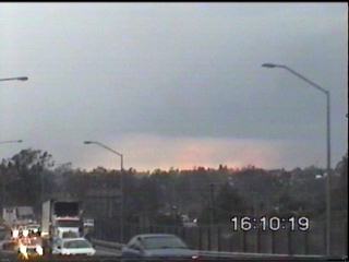
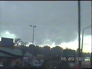
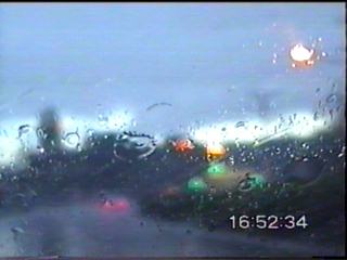
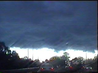
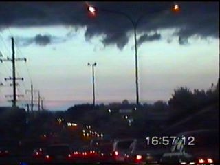
We finally got back onto the Ipswich Mwy, things were starting to look better again (of course they would, it was nearly peak hour now!) Weaving through heavy traffic on the Ipswich Mwy heading east, we saw some nice RFB�s with interesting lowerings under them. Some of them very suspicious. In order to avoid the traffic, we took the tolls (Logan and Gateway Mwy�s to get to the bayside suburbs). Again, more very nice lightning and CG�s! We got caught up in nearly torrential rain � just before the F4 splits into the F4 & F6. It was heavy enough to cause cars to pull off the side of the road and take shelter under overpasses. After this, the rain generally fluctuated between moderate and heavy.
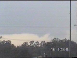
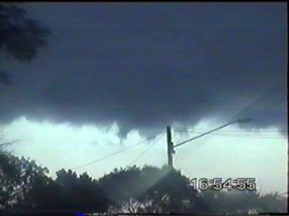
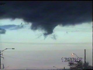
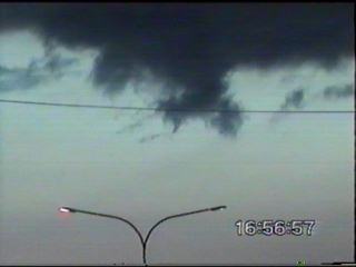
We met up with more traffic on Old Cleveland Rd � but fortunately, it wasn�t too bad! But it was certainly quite an awesome site as we began to get ahead of the rain, with a very large guster well ahead of the storm looking extremely turbulent. Perhaps the most interesting part of the day, were the 20-30 �gustnadoes� (if you could call them that, they were rotating, short lived vorticies on the gust front, moving, forming and dissipating very quickly.) It was certainly extremely interesting to watch!
We continued to head east, to Cleveland Pt. Unfortunately, we ran out of roads (unless the Telstar was a hovercraft convertible) and had to be content with the furthest east we could go. We saw another quite spectacular gust front to the north near Redcliffe (it was very round and smooth!) It was most probably from a storm that gave hail twice the size of golf balls near Woodford!
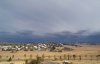
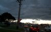
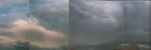
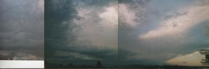
It was reasonably active � well, only active when the video camera was turned off! But it gave some nice CG�s and lightning, so did the decaying storm that we had just gone through to our west. Heading back there was the odd flash of lightning and CG mixed in with the rain, but not enough to keep your attention for long, and after a long day (both of us with head aches), we decided to head back home. Wow � just tell me, what month is it again??? Oh that�s right, July!?!?!? A big thanks to Michael Bath, Jane O'Neill and James Harris for supplying us with updates! Digital Camera pictures taken by Ben Quinn are below - in order of when they were taken. Click on any thumbnail to see a full size version.
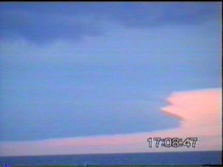
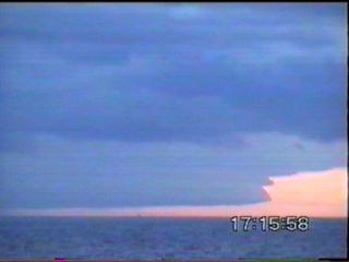
Two pictures taken
by Steve Baynham
from the Gold Coast are below
Video captures by James Chambers from the Brisbane and SE QLD Storm Site are linked to below Digital pictures of a great gust front (Pic 6 is very nice) taken by Adam (who submitted his pictures to the Brisbane and SE QLD Storm Site) are also linked to below. Pic 1 - Pic 2 - Pic 3 - Pic 4 - Pic 5 - Pic 6
An interesting report came in from an ASWA member a few days later! Here's a brief summary: Craig Williams (ASWA QLD) phoned me yesterday to inform me about an interesting event. He commented on the frequent and relatively close CG's that occurred. Of most importance, was the CG that struck a tree about 10m from his house!!! He said that he heard a large buzzing noise before the strike, then the flash and instantaneous and very loud crack! Craig mentioned that it appears the water inside of the tree boiled and exploded looking at the tree, he also noted that there were bits of bark impaled into the ground. The damage? A fried network card to the cable modem...one would automatically assume that the strike got into underground cabling - but, his cable modem is fine, and the same with his cable television decoder (all on the same line)...all perfectly fine! I would have expected the modem, the decoder, TV, Computer etc all to explode, or at least be damaged! The warnings from
this event are pasted below (from the BoM):
TOP PRIORITY
For the Southeast Coast Thunderstorms were
rapidly developing in the Cunninghams Gap area
The storms are expected to move towards the east. People are advised
to secure outside items, move cars under cover and
The next warning will be issued at 2pm. **** NOT FOR BROADCAST
AFTER 2pm ****
TOP PRIORITY
For the Southeast Coast District A line of thunderstorms
is continuing to develop from the Yarraman area through
The storms are expected to move towards the east about 30 kilometres per hour. People are advised
to secure outside items, move cars under cover and seek
The next warning will be issued at 3pm. **** NOT FOR BROADCAST
AFTER 3pm ****
TOP PRIORITY
For the Southeast Coast and Wide Bay-Burnett Districts A line of thunderstorms
has developed from the Mundubbera area through Kingaroy
The storms are moving towards the east about 30 kilometres per hour. People are advised
to secure outside items, move cars under cover and seek
The next warning will be issued at 4pm. **** NOT FOR BROADCAST
AFTER 4pm ****
TOP PRIORITY
For the Southeast Coast and Wide Bay-Burnett Districts At 4pm, a line of
thunderstorms was observed on radar lying from the Monto area
The storms are moving toward the east at about 30 kilometres per hour. People are advised
to secure outside items, move cars under cover and seek
The next warning will be issued at 5pm. **** NOT FOR BROADCAST
AFTER 5pm ****
TOP PRIORITY
For the Southeast Coast, Wide Bay Burnett and Capricornia Districts Just before 5pm,
an extensive line of thunderstorms was observed on radar lying
The storms are moving toward the east. People are advised
to secure outside items, move cars under cover and seek
The next warning will be issued at 6pm. **** NOT FOR BROADCAST
AFTER 6pm ****
TOP PRIORITY
For the Southeast Coast, Wide Bay Burnett and Capricornia Districts Just before 6pm,
an extensive line of thunderstorms was observed on radar lying
People are advised
to secure outside items, move cars under cover and seek
The next warning will be issued at 7pm. **** NOT FOR BROADCAST
AFTER 7pm ****
Chase report by Anthony Cornelius |