|
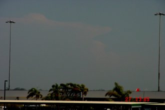
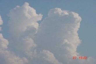
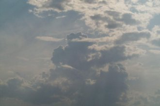
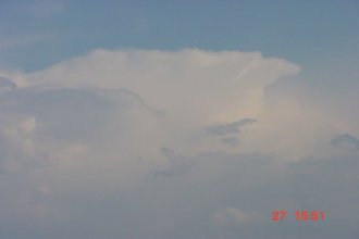
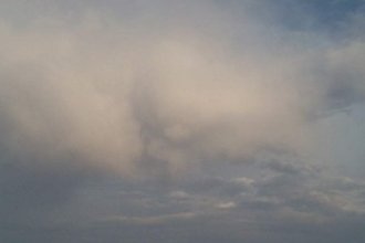
North East New South Wales Storm Chase - September 27, 2000 Click on any thumbnail to see a full size version The AVN model had been tipping storms for NE NSW and the border ranges for a few days, and after a bit of umm'ing and arrr'ing Jason Rainforest and myself decided to head down to NE NSW for the day. As we drove down the coast some very large Tcu and areas of congestus were visible to the W, SW and S. As we approached the Gold Coast the development really started to take off, with what looked to be a cluster of storms developing in NE NSW and a handfull of single cells to the W and NW. One of these storms in NE NSW had quite a nice structure, with high cloudtops, a backshear and a small overshooting top. There is a picture of this cell below, but the haze was very very thick and it was extremely hard to get a good shot.
We kept going, stopping along the way to photograph the activity that had developed to our NW in SE QLD.
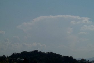
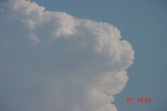
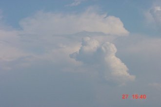
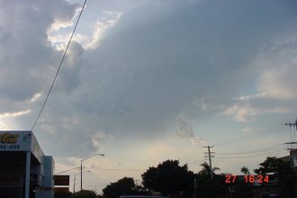
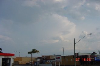
These storms looked quite good for a short time, with thick hard updrafts forming quite compact and strong looking anvils. With a large cluster of cells (no pictures due to thick haze) to our SSE, several cells to our NW in SE QLD, who could blame us for thinking that we were in the wrong spot! but with a line of congestus and Tcu to the S and SW we decided to keep heading south. An area of congestus persisted to our south for quite some time, and before long it took on a very neat appearance.
It didn't eventuate into anything though. We continued south towards the Lismore/Ballina area. We stopped several times along the way, keeping a close eye on some peristant congestus to the west. This would later develop into a small cell that moved over Ballina.
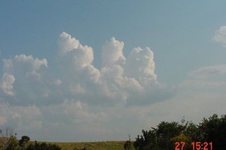
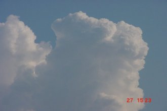
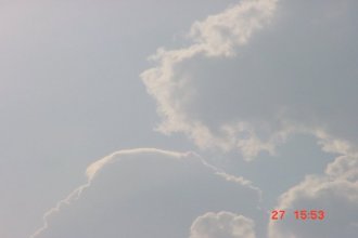
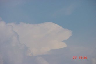
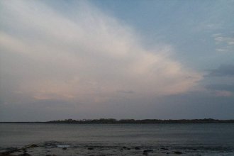
While sitting on a side road photographing the above congestus, a cell developed to our SE. It quickly developed a small backshear, and in general had nice structure.
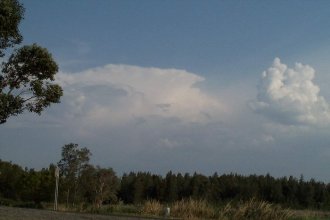
While having some lunch in Ballina, a small cell (which formed from the congestus pictured above) developed and moved over the town.
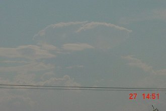
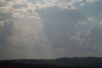
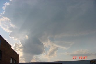
It dissipated before long, and left a small area of anvil cirrus which looked to contain some mammatus at one stage (pictured above). As this cell was moving over, another cell off the coast once again took on a stronger appearance.
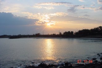
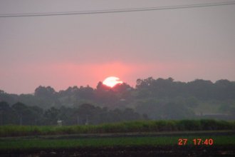
They day was drawing to an end, and after a few sunset shots, we decided to head home.
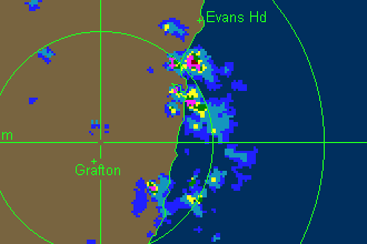
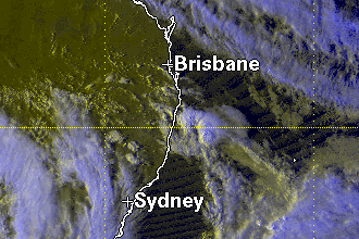
During the evening we did see a few flashes of lignhtning and even an anvil crawler to the south from some weak Cb's, but the lightning was quite infrequent, and we decided to call it a day. Thanks to Michael Bath, John Woodbridge and Matt Smith for radar updates! Much appreciated guys. Below is a VIS satellite picture and a radar loop for these storms. Click on the VIS sat pic thumb to see a full size version, and click on the radar thumb to see an event loop.
Click on any thumbnail to see a full size version
Written
by Brisbane Storm Chaser Ben Quinn
|