|
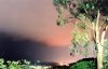
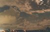
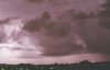
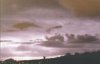
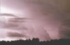
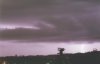
STRONG STORMS LAST THE GOLD COAST AND PARTS OF NE NSW - OCTOBER 16, 2000 There was a chance of thunderstorms on the edge of a SE�ly change that was moving up the coast during Monday night. However, it looked more likely for NE NSW. A few cells developed in NE NSW, including one on the border ranges just south of the Queensland border. This cell looked reasonably strong initially, but soon weakened as it drifted eastwards across the ranges. Reports of some nice lightning were coming in from the Gold Coast, and it had me on my toes! I wanted to see some lightning, but was unsure of the cell (which weakened to nearly shower status) would last. However, when the 13UTC radar image came in, I thought that the storm would begin to propagate northwards. Hopefully of this, I drove down on the M1 towards the Gold Coast, hopeful that I�d be right! 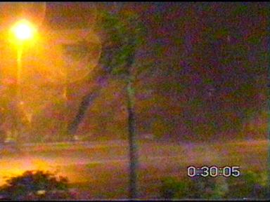 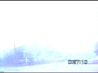
Click here or on the above stills to see my chase report for this night
Ross Portas and Steve Baynham also managed to take the following lightning photos.
Report by Anthony Cornelius |